
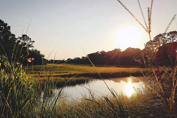
2018
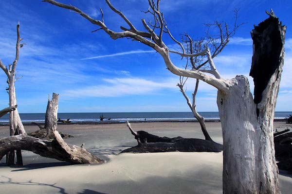
Awendaw / McClellanville
Photo stolen from Google
Tucked north of Mount Pleasant along Highway 17, bordering Francis Marion National Forest and the Cape Romain National Wildlife Refuge.
EXPLORE >>
2019
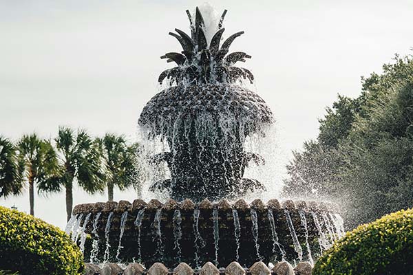
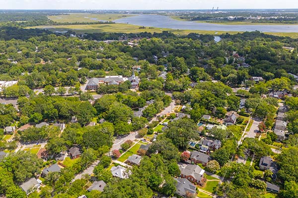
Downtown Charleston
Charleston South Carolina is the port city founded in 1670. It is recognized for its cobblestone streets, horse-drawn carriages and pastel houses, particularly in the elegant French Quarter and Battery districts.
2019
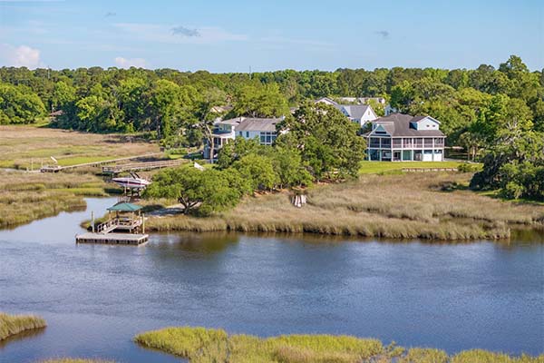
Hollywood / Ravenel / Meggett
Rural communities southwest of Charleston, bordered by tidal creeks and farmland.
EXPLORE >>
2019
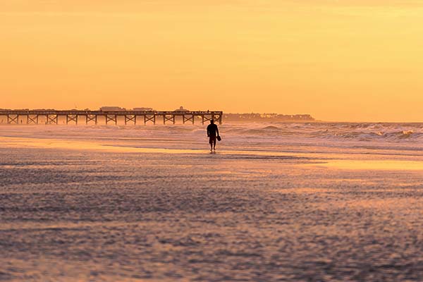
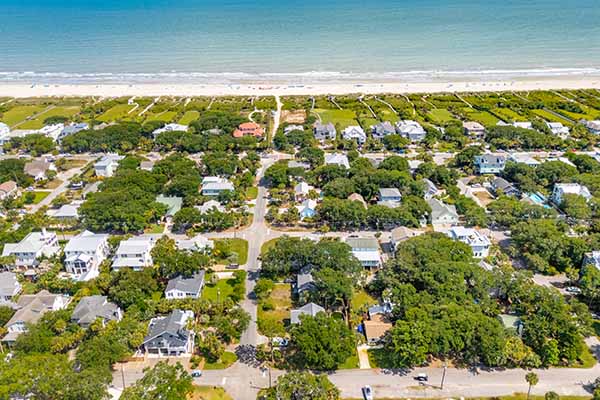
Isle of Palms / Wild Dunes / Sullivan’s Island
Barrier islands northeast of Charleston, accessible via the Isle of Palms Connector or Ben Sawyer Bridge.
EXPLORE >>
2019
James Island
Positioned between downtown Charleston and Folly Beach, accessible via multiple bridges.
EXPLORE >>
2019
Johns Island / Wadmalaw Island
West of James Island, Johns Island is the largest island in SC, with Wadmalaw further south, bordered by the Stono River.
EXPLORE >>
2019
Moncks Corner / Goose Creek
Photo stolen from Google
Located in Berkeley County, north of North Charleston. Moncks Corner is the county seat; Goose Creek lies just south.
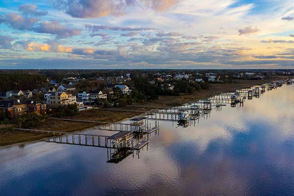
2019
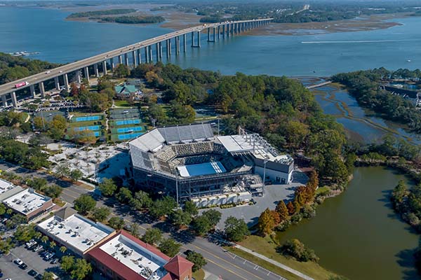
North Charleston / Hanahan
North Charleston lies between Charleston and Summerville, home to the airport, Boeing, and major industry. Hanahan borders Goose Creek and the Cooper River.
EXPLORE >>
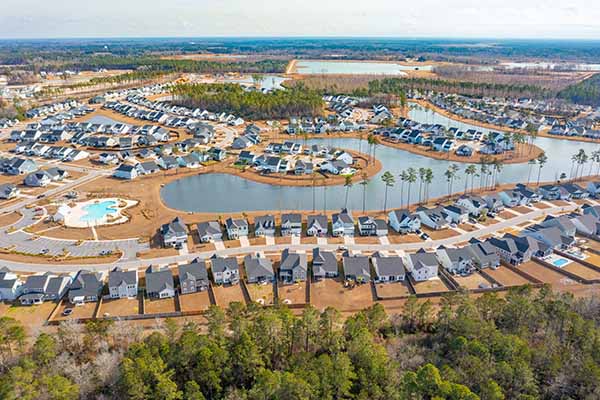
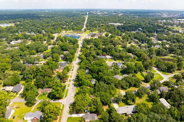
2017
Summerville / Nexton / Cane Bay
North of Charleston in Dorchester and Berkeley Counties, along I-26.
EXPLORE >>
2018
West Ashley
Located west of the Ashley River, stretching from the Charleston peninsula to I-526.
EXPLORE >>